The UK will be gripped by “harsh frosts” and bitterly icy conditions for the first week of January, according to the Met Office.
Forecasters say the cold weather will continue for the next few days as easterly winds develop, bringing wintry showers, snow and hazardous fog.
The freezing temperatures come amid warnings Britain will be hit by a second “Beast from the East” later this month as a result of the phenomenon known as sudden stratospheric warming. In February 2018 a similar sub-zero Siberian weather front battered the UK with heavy snow and freezing temperatures, leading to school closures and travel chaos.
Snow fell in several parts of the country on Saturday, after the Met Office issued yellow warnings for snow and ice in Wales, northern England and eastern Scotland lasting until Sunday morning.
“Obviously it’s very cold and it’s going to stay cold through this week” said Met Office meteorologist Alex Burkill.

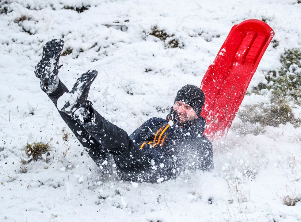
A man falls off a sledge near Winnats Pass in Derbyshire.
(PA)
“Tonight we’ll see temperatures dropping again and that will bring a fairly significant risk of ice patches, particularly in northern parts of Scotland.”
Motorists, in particular, have been warned to look out for icy patches on roads across Britain as temperatures drop to as low as -4C.
RAC Breakdown spokesperson Simon Williams said: “The message for those who have to drive is to adjust their speed according to the conditions and leave extra stopping distance so 2021 doesn’t begin with an unwelcome bump and an insurance claim.
Ground staff clear snow from the pitch prior to the Premier League match at The Hawthorns, West Bromwich.
(PA)
“Snow and ice are by far the toughest driving conditions, so if they can be avoided that’s probably the best policy.”
Hazardous conditions have already caused supermarkets like Sainsbury’s and Tesco to cancel shopping deliveries over the last few days.
Sunday is forecast to be fairly cloudy, with a few showers, particularly in the east, but generally “feeling cold”.
The Met Office predicts brisk northeasterly winds and some wintry showers for the start of the week, although it will remain fine and cold in the northwest until Wednesday when cloud brings rain and possibly snow.
Scotland could see a mammoth 31 inches of snowfall on Wednesday, according to the latest snow depth maps from WXCHARTS.
Temperatures are also likely to plunge to freezing sub-zero levels across the whole of the UK this month.
Central Scotland could experience -11C on Saturday, 9 January, with other parts of the country being hit with -10C and -7C on the same day.
The Met’s long range forecast suggests that rain, sleet and snow will affect many areas of the UK between 7 and 16 January.


